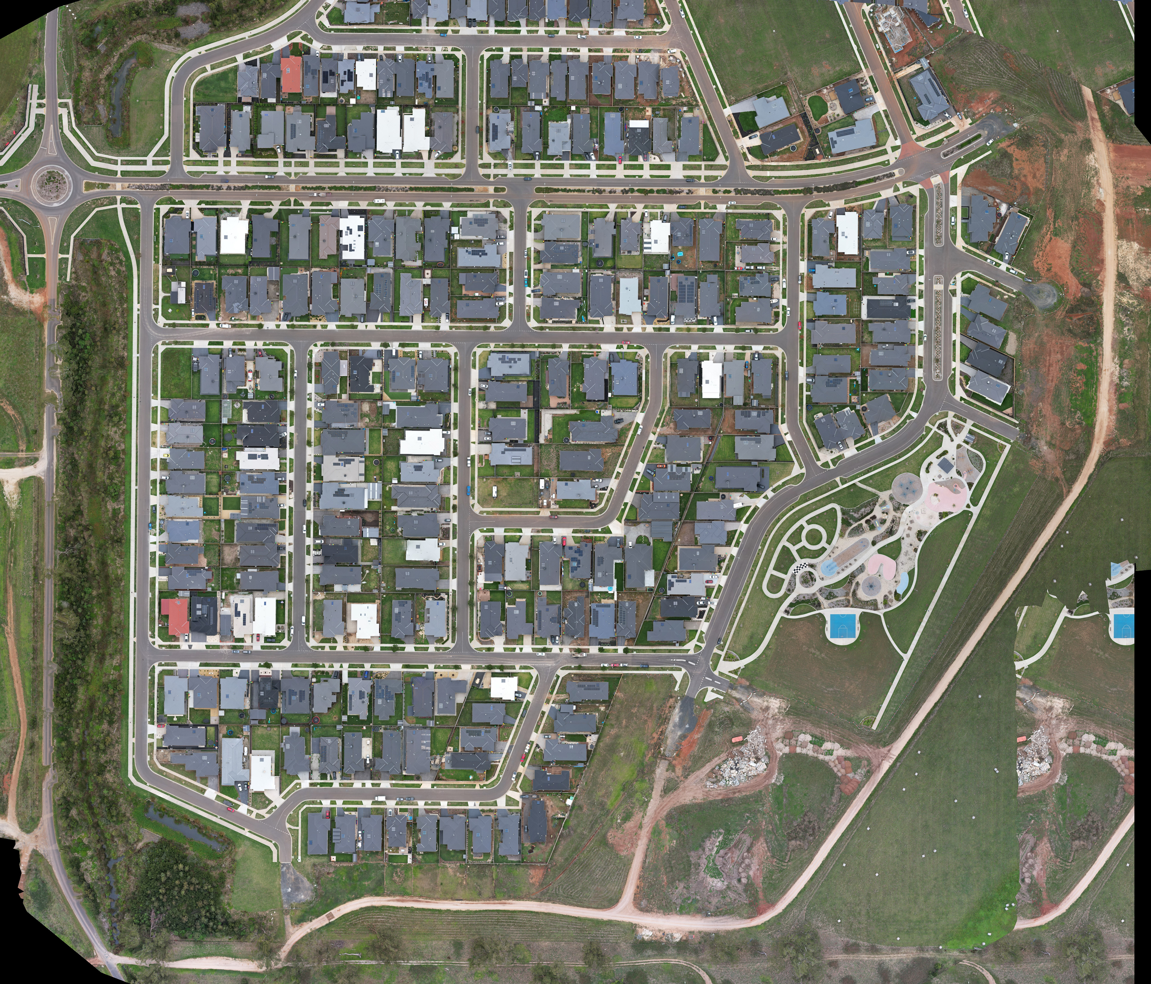
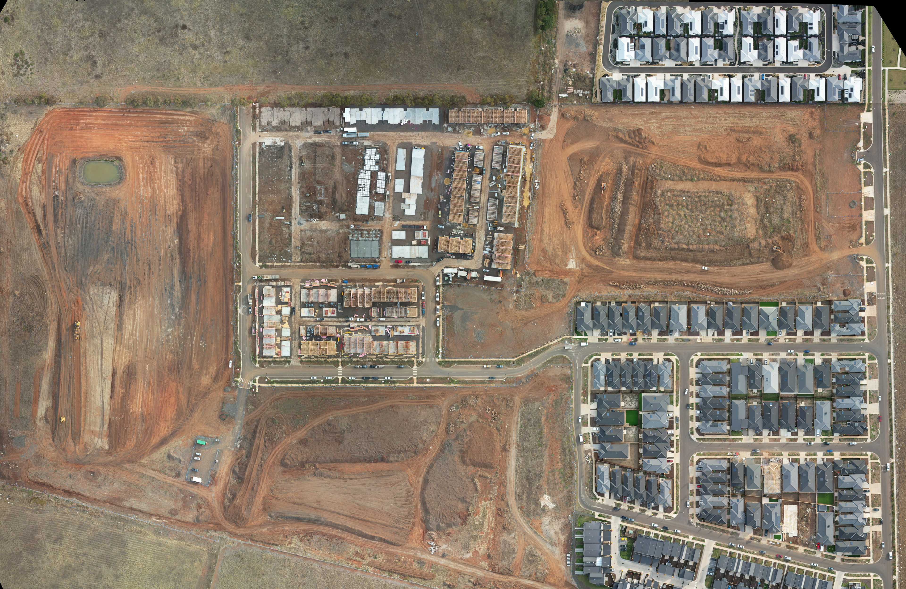
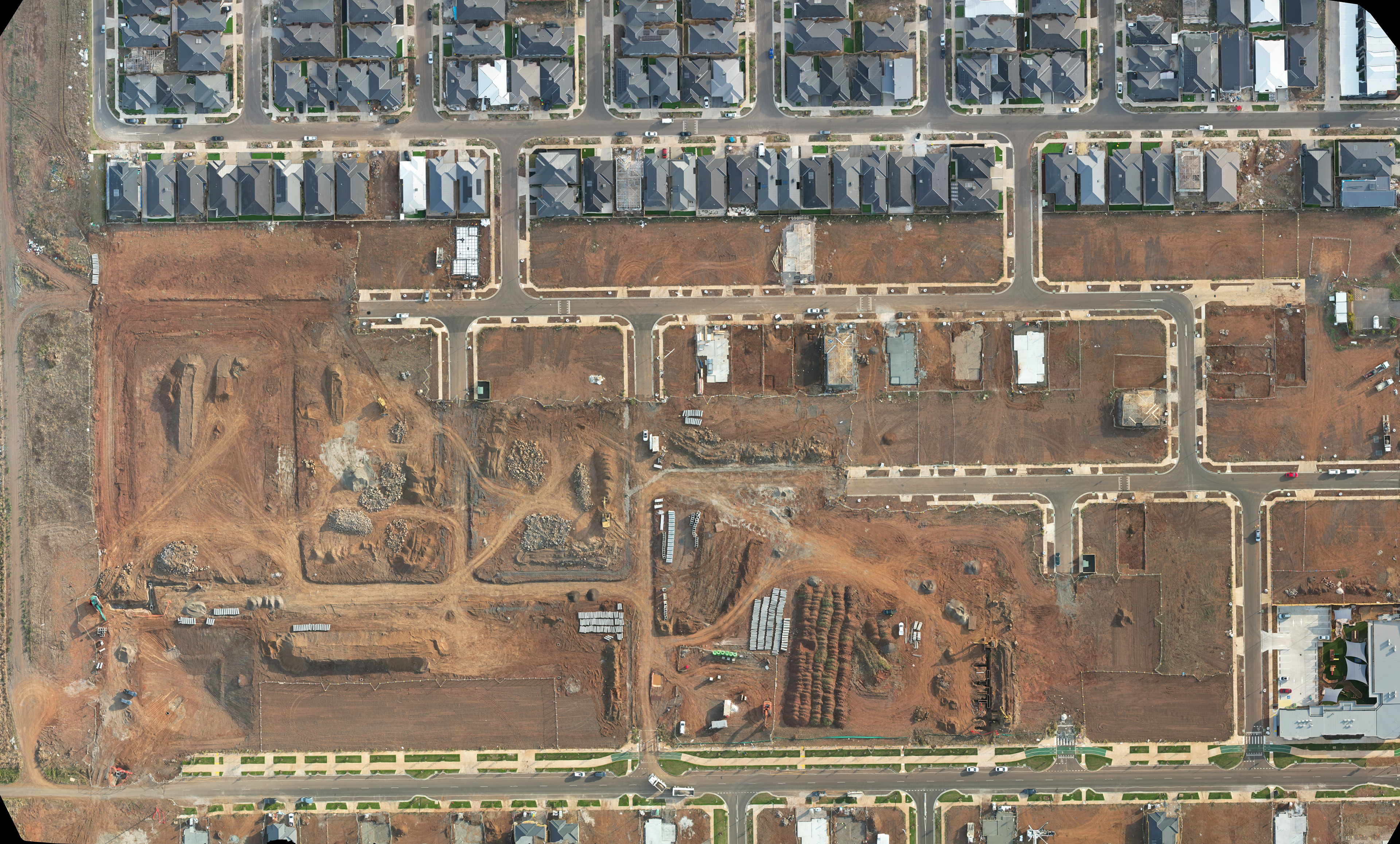
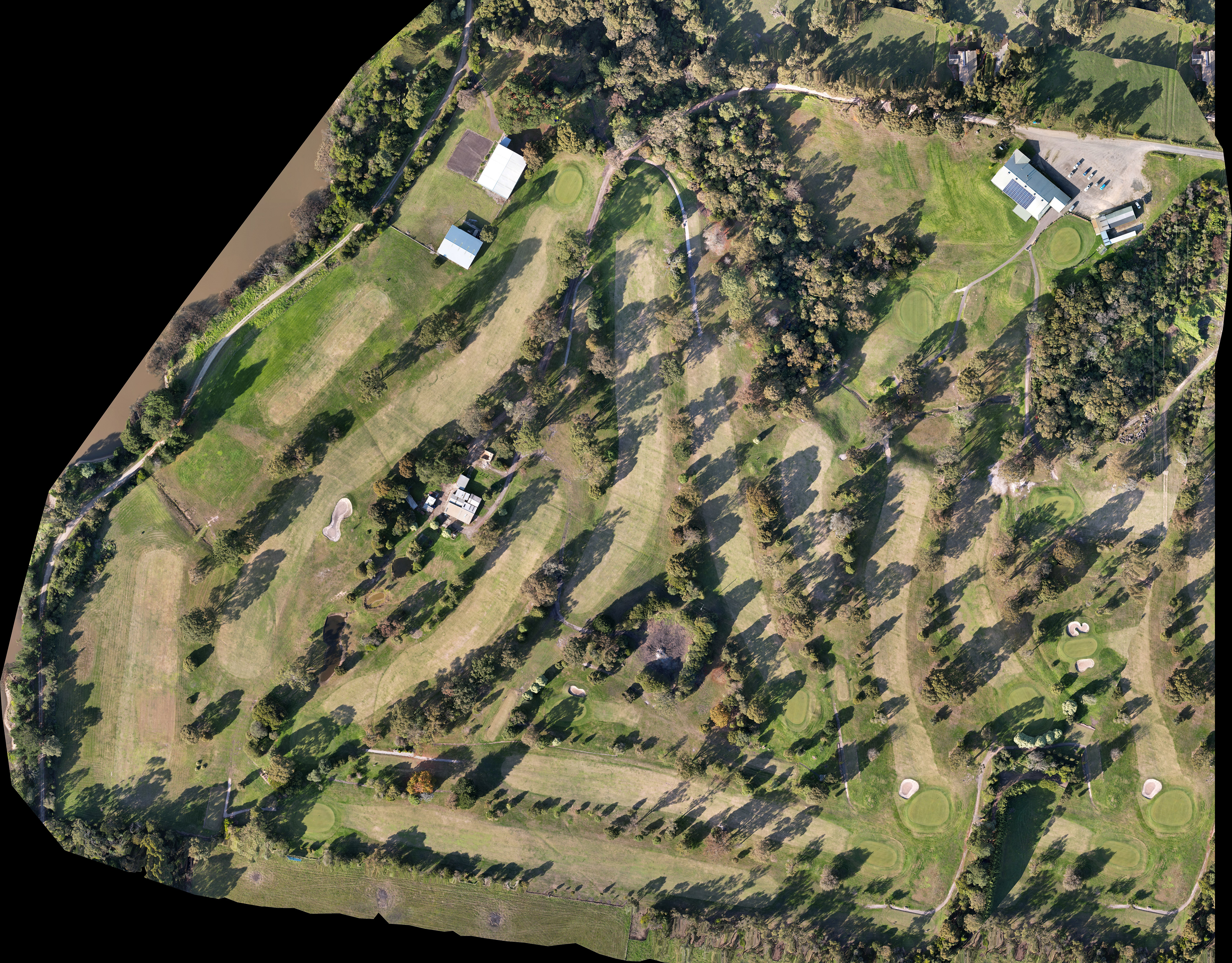
Orthomosaic maps are made up of hundreds of photos stitched together to form a zoom-able 3D map. Commonly used in surveying, site management/progress and land development. 3D "digital twins" and 3D models also available.